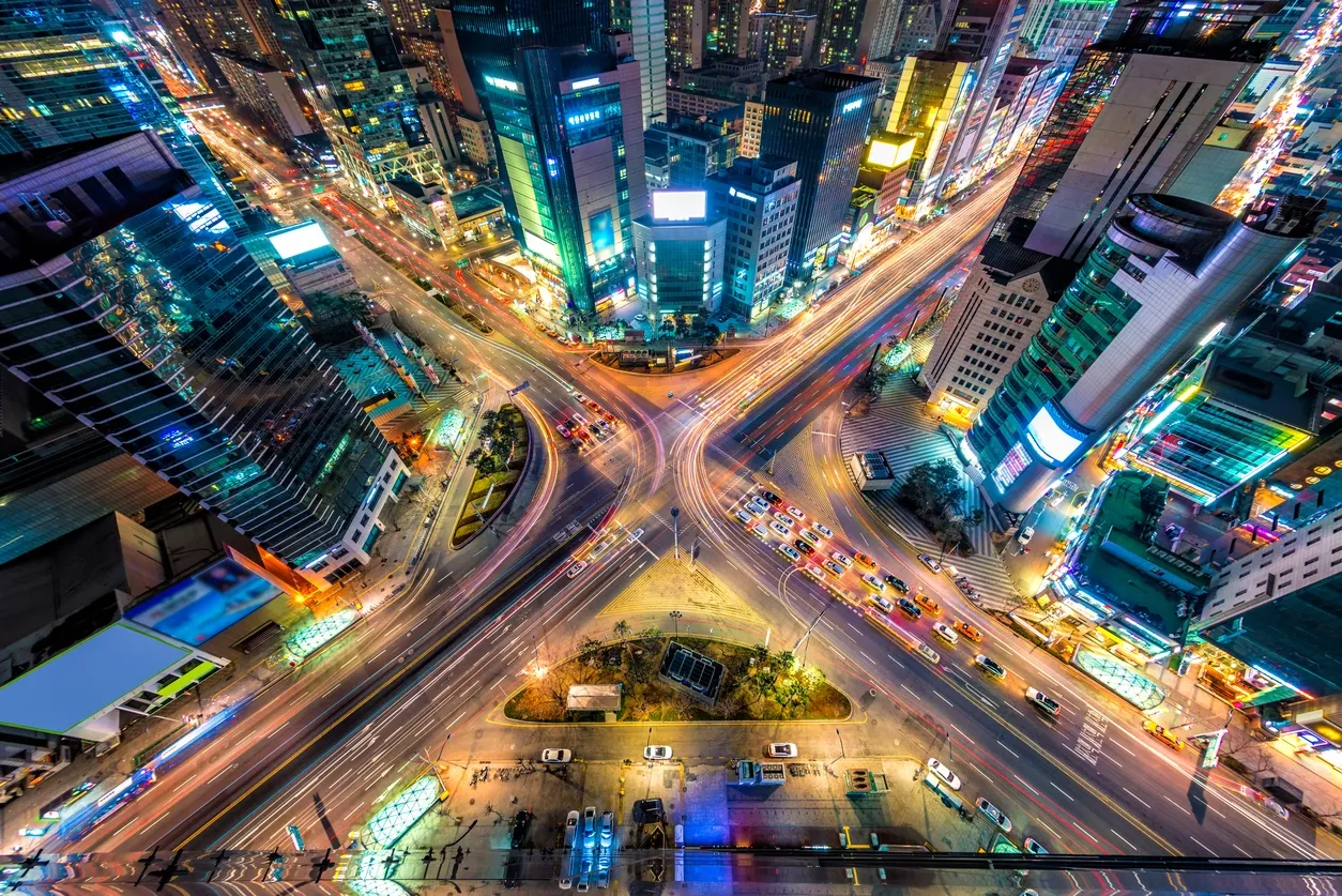
I have spent the majority of my life in a ‘grid’ city. According to Wikipedia, “In urban planning, the grid plan, grid street plan, or gridiron plan is a type of city plan in which streets run at right angles to each other, forming a grid.
The grid plan dates from antiquity and originated in multiple cultures; some of the earliest planned cities were built using grid plans in the Indian subcontinent.”
In my hometown, “road names are numbered with a north, south, east, or west designation, with the grid originating at the southeast corner of Temple Square downtown. The grid pattern remains fairly intact in the city, except on the East Bench, where geography [aka mountains] makes it impossible. The entire valley is laid out on the same numbered grid system, although it becomes increasingly irregular further into the suburbs. Many streets carry both a name and a grid coordinate.
Two inherent characteristics of the grid plan are frequent intersections and orthogonal geometry, both of which facilitate movement. The geometry helps with orientation and wayfinding, and its frequent intersections help with the choice and directness of route to desired destinations.”
Long before most of our cars and phones came equipped with GPS navigation, the grid system was how many of us got where we needed to go more efficiently. We counted out east or west, north or south, from that center point and found our way.
I have a particular affinity towards several specific Polynesian families (ofa atu those reading this!) – and to Polynesian culture in general. And one of the things I find fascinating about their ancestors is their natural wayfinding ability. The University of Hawaii at Manoa explains it this way, “The early Polynesian voyagers were some of the best wayfinders in history. They were able to find their way across vast reaches of the Pacific ocean basin navigating by the sun, stars, and other natural cues.
One of the natural cues that Polynesian voyagers used for navigation is the knowledge that islands block waves and ocean swells. Not only is there a zone of calmer water behind an island, but an island also reflects and refracts waves and swells. When waves meet after being reflected, they interact. A seasoned navigator can see or feel this change in pattern, thus locating small low-lying islands that are not visible.”
So, how could we use all this navigation information at times when our own lives feel hard to navigate? How do we become our own wayfinders?
Here are 3 possibilities.
1. Find those islands!
When we can sense or feel a change in a pattern or lives, like the Polynesian voyagers, we can locate things that are not visible by drawing on and trusting our instincts.
What can you locate that is not visible?
What’s in the way of where you need to be?
What’s really going on?
2. Choose the direct route!
When we come to intersections offering choice and a more direct route, we can access our own power of agency to make our decisions.
What – if anything – is making choosing so hard?
Which path is the most direct?
Which route will get you where you really want to go?
3. Use your center!
Like in a grid city plan, when we need to get some footing and orientation, we can use what we already know to center us and show us where we are.
What do you know for sure?
What is your origination practice that can always ground you?
What would it take to get you to feel re-oriented?
I can’t wait to hear about how you’re realizing your own wayfinding abilities and to watch where you’re going. If you need a little nudge, I’d be happy to help.
.
.
.
.
.
.
.
PS If you liked this post – or any others, I’d love you to pass it on to a friend. They can subscribe here if they’re interested!


